


toolkit for development
TRIDs and TODs may sound like characters from The Hobbit, but they’re actually tools Mt. Lebanon could use to facilitate development above the light rail tracks near Parse Way, the “alley” that runs parallel to Washington Road between Alfred Street and Shady Drive East. Creating a transit revitalization investment district (TRIDs) and promoting transit oriented development (TOD) may in fact be among the few remaining ways our mature, built-out communities can broaden the tax bases and revitalize our central business districts.
TRIDs and TODs are not new or unique ideas. Although the acronyms and guidelines for these tools may vary from state to state, promoting mixed use development—typically between a quarter mile and half a mile from a transit station—is a movement that has gained momentum quickly in recent years.
In Mt. Lebanon, the process for developing the “air rights,” or the vertical space above the “T” has been in the making since light rail transit debuted in Mt. Lebanon in 1987. The most recent move forward was the completion this past summer of a preliminary engineering study for the area. The $148,000 study, conducted by the international consulting firm AECOM, was paid for by a $200,000 Community Infrastructure and Tourism Grant, which comes from gambling revenues and is managed by the Redevelopment Authority of Allegheny County. According to Municipal Planner Keith McGill, Mt. Lebanon received $148,000; Dormont received $50,000 for a separate but related study and 2 percent went to South Hills Area Council of Governments (SHACOG), which is administering the grant.
The study concluded that building a shovel-ready platform and adjacent parking facility over the T is possible. “It says that this is do-able, ” says Milliron, who is coordinating this phase of the project. The purpose of building such a platform is to attract developers (and ultimately tenants) to a problematic site in a prime location. Unlike places like South Side Works or the Waterfront, or even Bakery Square, our narrow ridge of a main drag set atop steep hills is tricky and relatively expensive to develop. AECOM’s preliminary cost estimate for the infrastructure—the development platform over the T tracks, a 240-car parking structure and a mixed-use tower building—is $36.4 million.
Right now, the municipality is focused on the feasibility of building a development platform and how to fund it, Milliron says. The rest would follow. A 2008 study prepared by DMJM Harris consultants suggested the municipality could create up to a half-mile, high-density TRID to make it easy for developers to get in on transit-oriented development. The district would be eligible for certain financing tools, such as tax increment financing (TIF), where a portion of the taxes gleaned from an increase in assessment property value could be used to pay for the infrastructure improvements, such as the platform or garage. A committee made up of officials from the school district, municipality and county—all the taxing bodies—would become involved. A private developer would then be chosen to build any new structures along the 5.23-acre parcel that would benefit from the improvements.
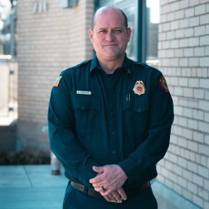
A new fire chief; Artists’ Market submission deadline; public meetings and more
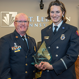
Top firefighters; when to call 911; Coffee With a Cop returns